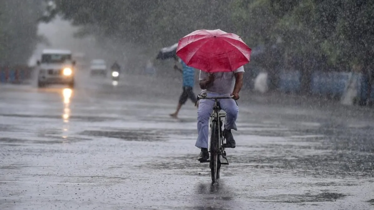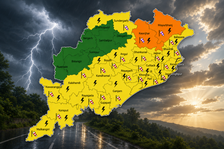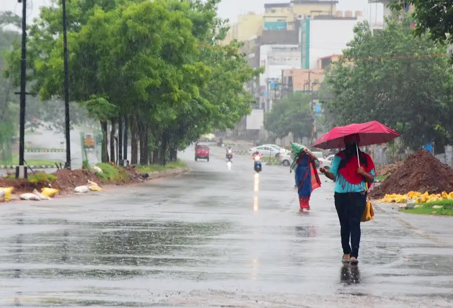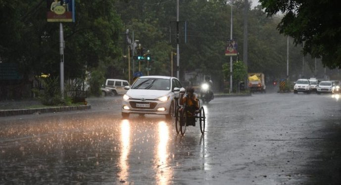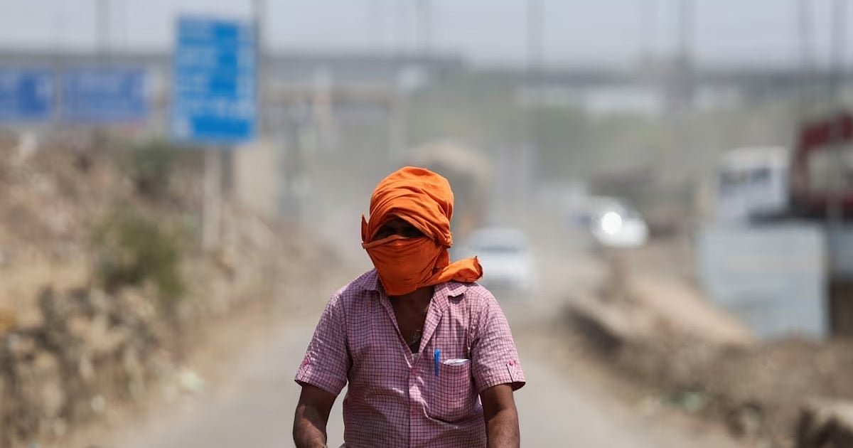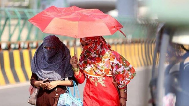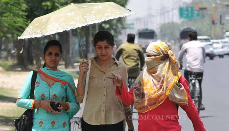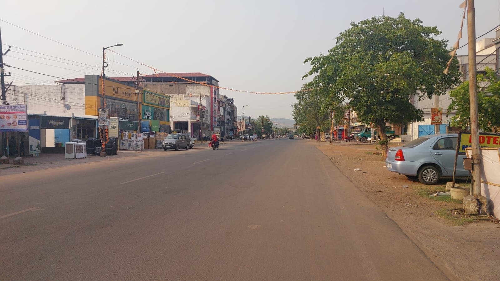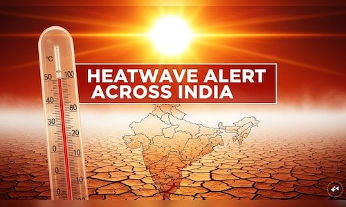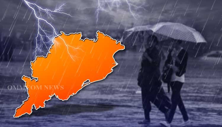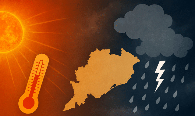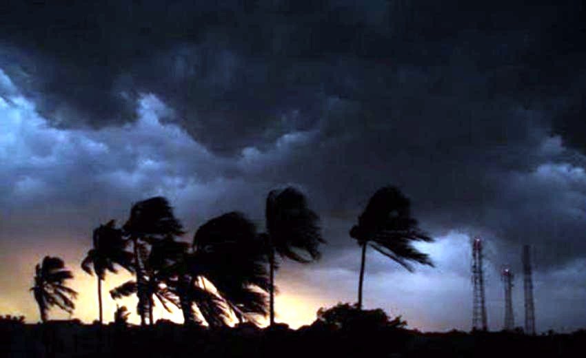

Bhubaneswar: The India Meteorological Department (IMD) has indicated that there will be no significant change in temperature across Odisha for the next three days. While isolated norwester (Kalbaisakhi thunderstorm) activity may occur at some locations daily, hot and humid conditions are expected to last until June 9 in various coastal districts and surrounding areas.
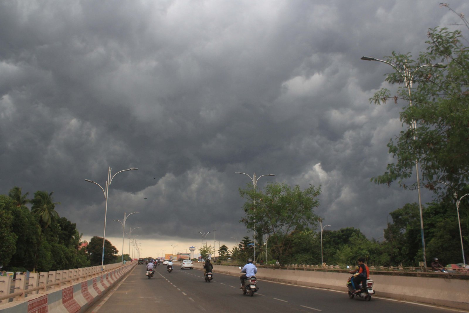
According to the IMD, a trough line over central India is obstructing moisture-laden winds from the Bay of Bengal from entering the state. This has led to decreased moisture levels and a sudden rise in temperatures. The influence of the trough is anticipated to diminish in the next 2-3 days. However, heatwave conditions may persist until June 9.
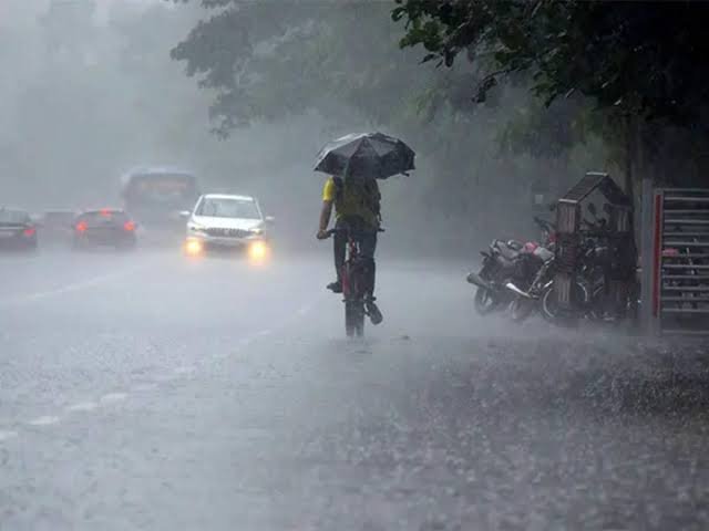
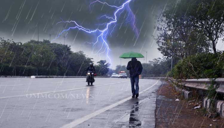
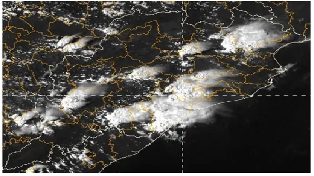
Based on the IMD’s forecast, thunderstorm activity is expected to increase starting June 11, with light rainfall possible across the state around June 13-14, which could signal the onset of the monsoon in Odisha. A clearer understanding of the monsoon’s arrival is expected in the coming days.
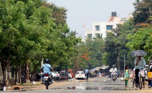
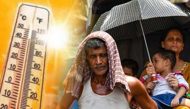
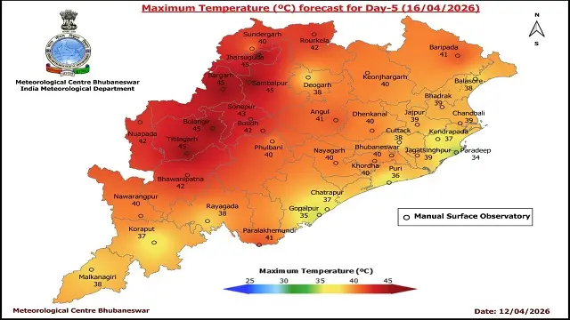
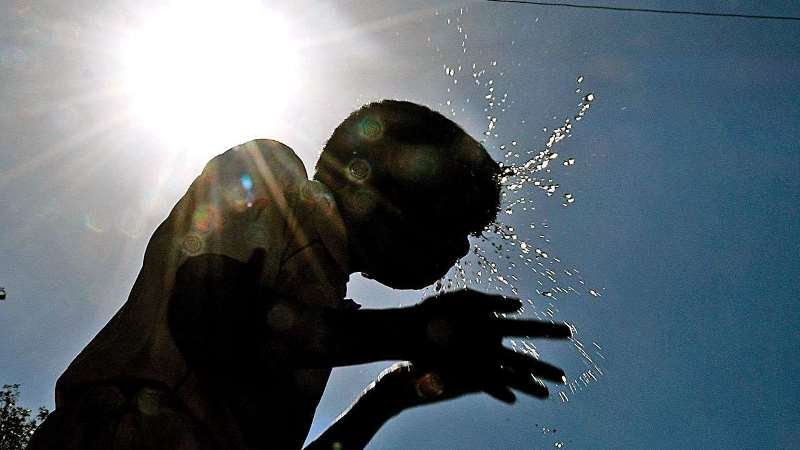
On Friday, various regions of the state experienced extreme heat. Boudh recorded the highest maximum temperature at 41.7°C, followed by Sambalpur at 41.2°C, and both Bhubaneswar and Angul at 41.1°C each. Jharsuguda, Balangir, Talcher, and Nayagarh reached 41°C, while Hirakud, Paralakhemundi, Titlagarh, Dhenkanal, and Khordha recorded 40°C. In coastal areas, temperatures exceeded 39°C in many locations, with Chandbali at 39.6°C and Cuttack at 39.4°C.
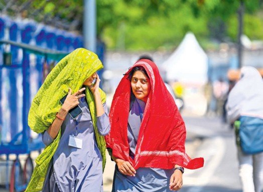
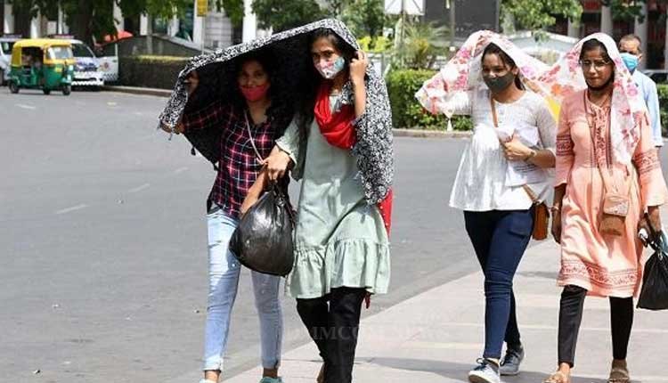
Although Bhubaneswar’s maximum temperature was 41°C, residents felt a “feels-like” temperature of around 50°C due to high humidity, making the conditions extremely uncomfortable.
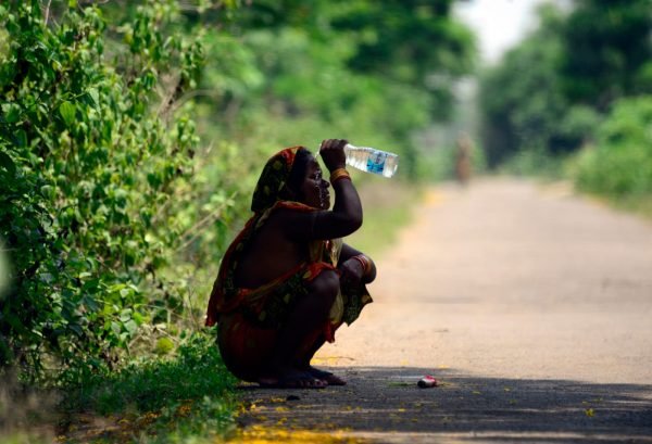
The IMD has urged residents to take necessary precautions against the heat and to stay hydrated.