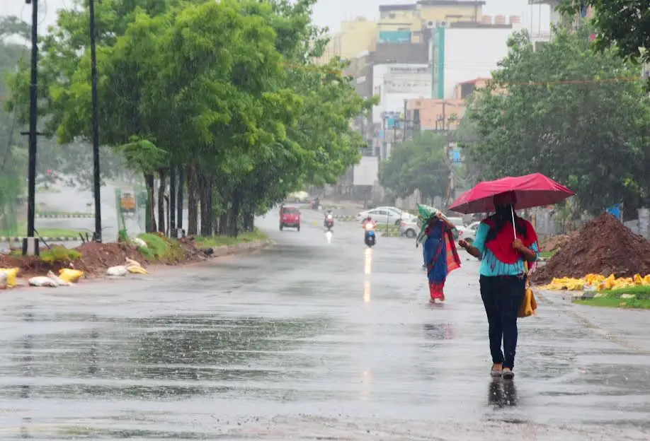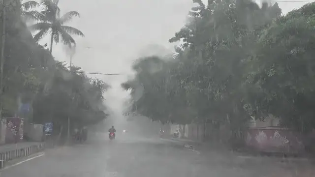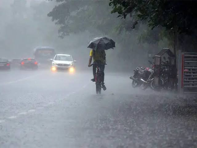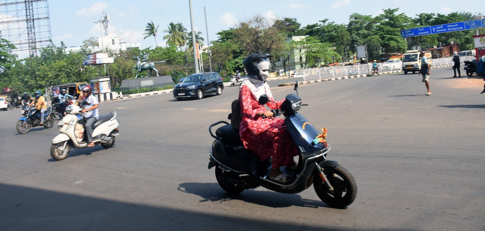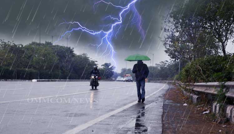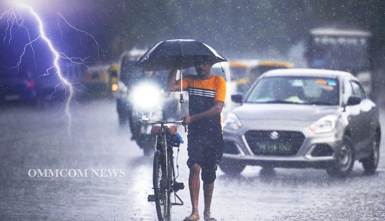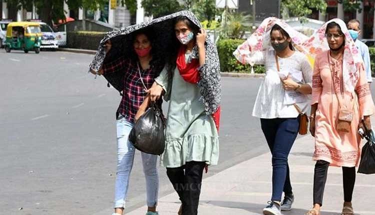

A man wraps a plastic sheet around himself while cycling through drizzle on Canal Road near Jagatpur in Cuttack. Express/DEBADATTA MALLICK
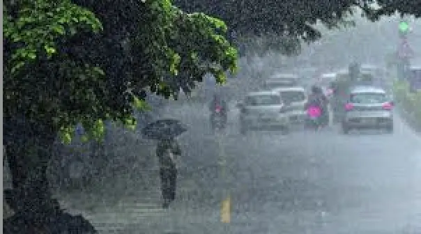
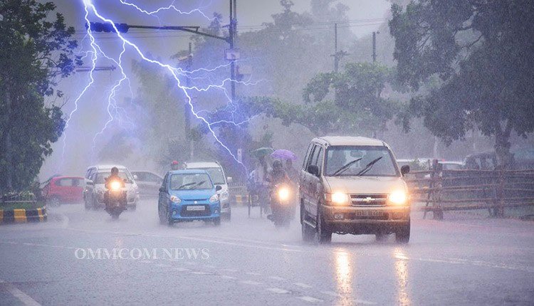
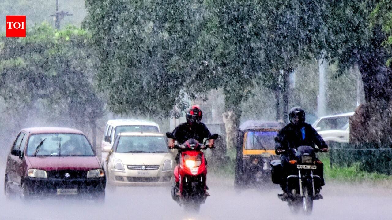
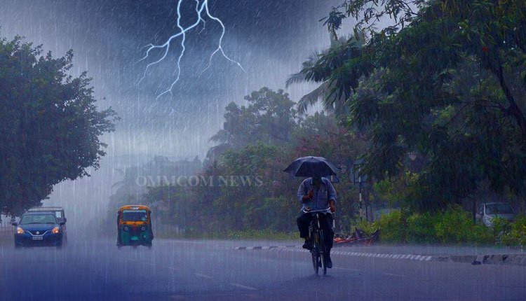
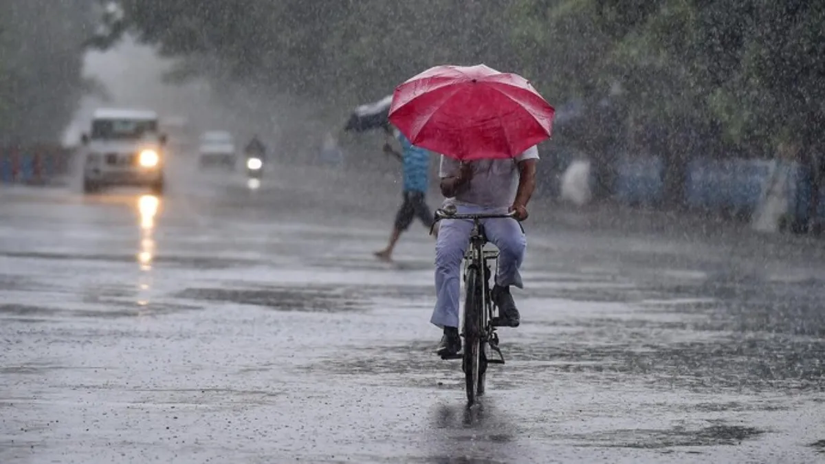
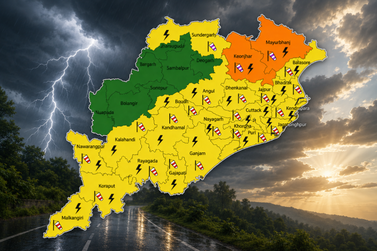
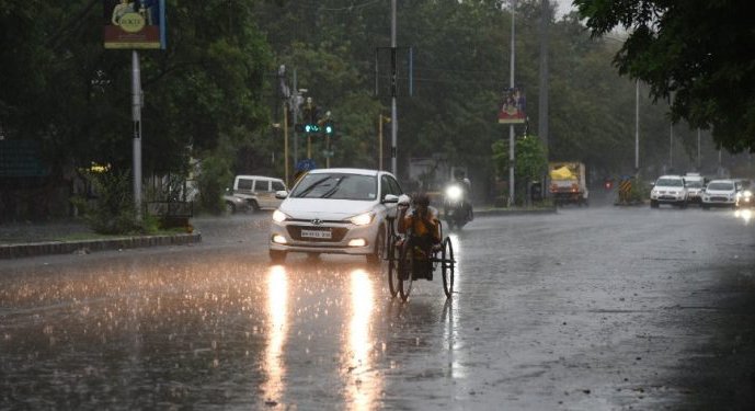
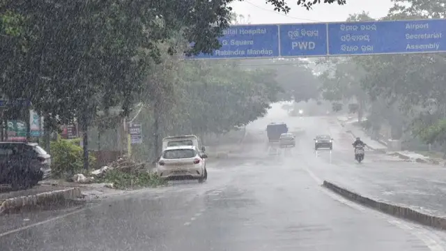
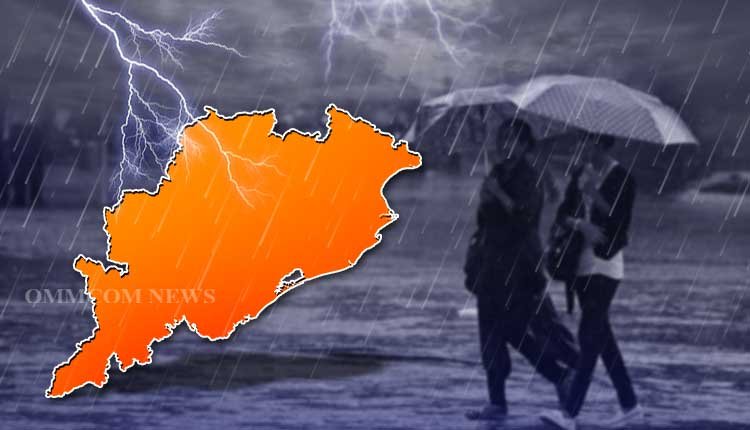
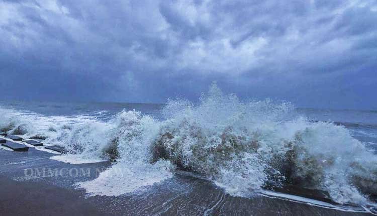
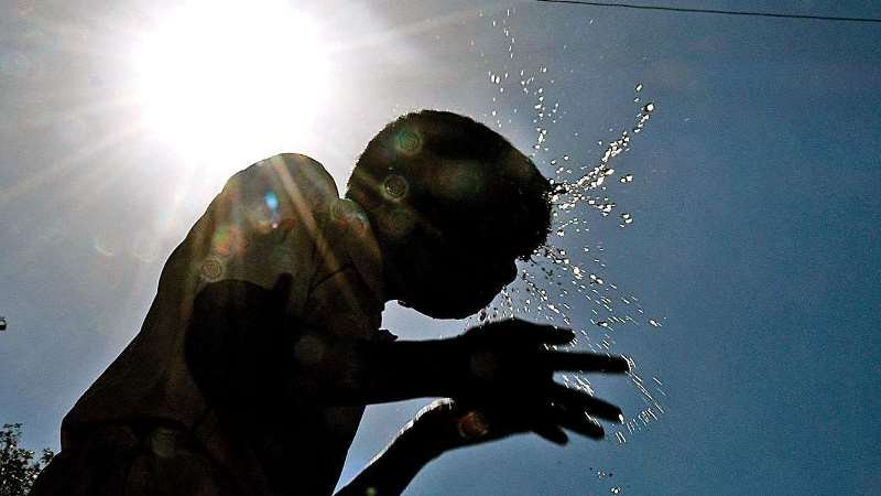
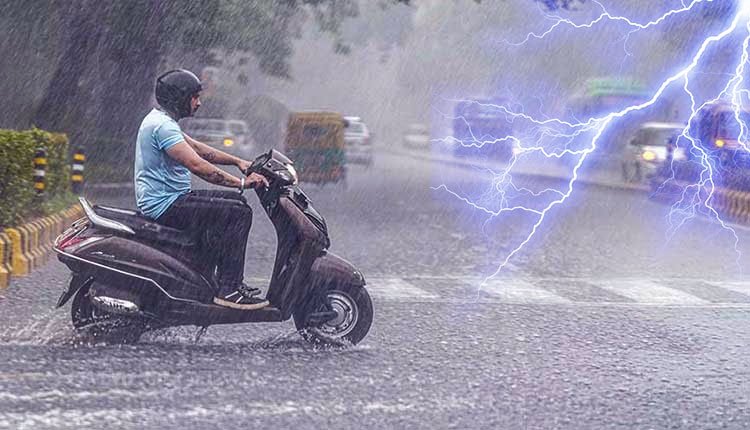
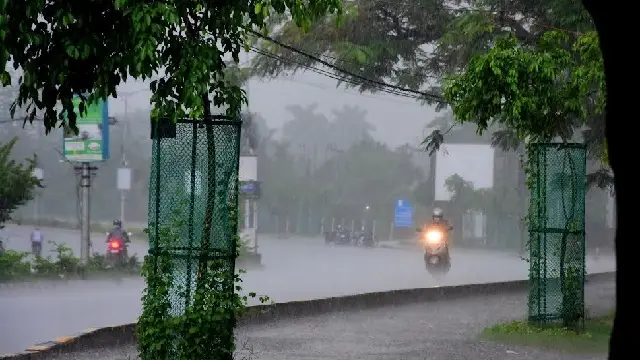
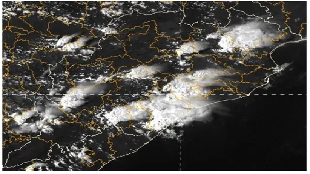
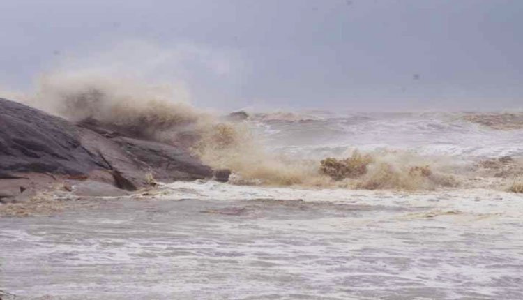
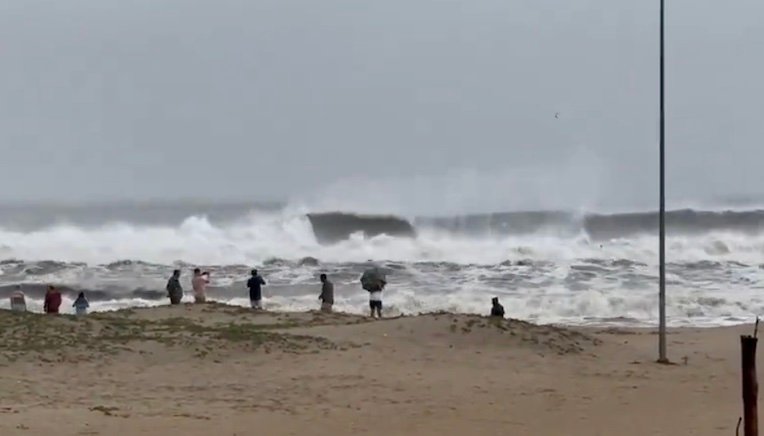
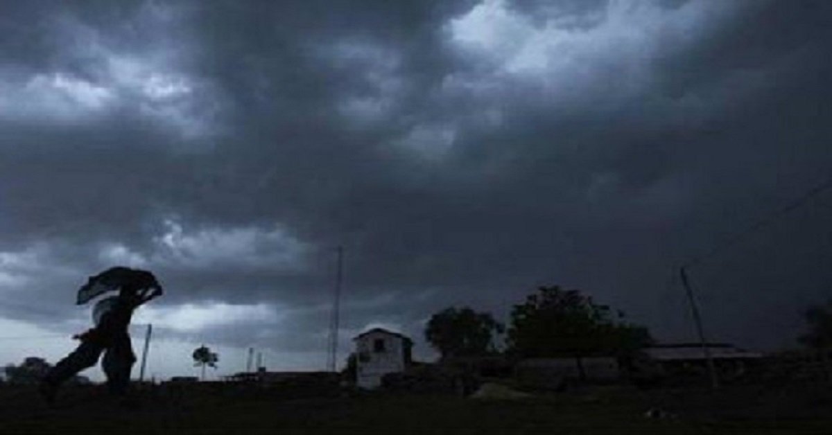
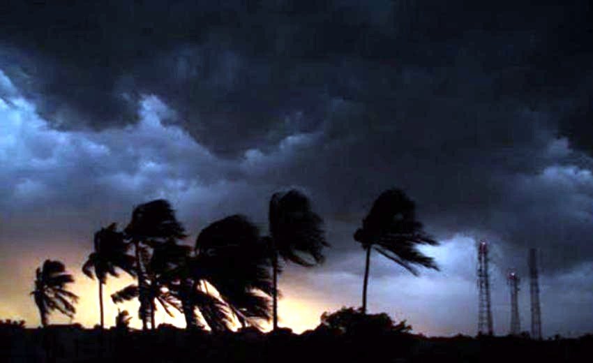
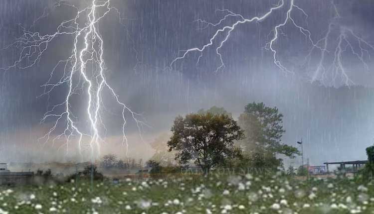
BHUBANESWAR: Heavy rains triggered by the first low pressure area of the season lashed many parts of the state on Thursday, with the India Meteorological Department (IMD) issuing a red warning (extreme heavy rainfall) for Koraput and Malkangiri districts for the next two days.
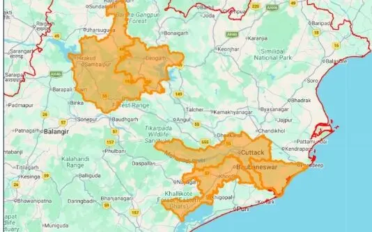
According to the national weather forecaster, the highest rainfall of 84.2 mm in the last 24 hours, ending at 8:30 am, was recorded in Hirakud, while Malkangiri district logged 79.2 mm of rain.
Similarly, Jharsuguda witnessed 73.2 mm of rain, followed by Cuttack with 67.4 mm, Sonepur with 65.8 mm, Bargarh with 62.3 mm, Keonjhar with 49.3 mm, Deogarh with 43 mm, Phulbani with 42.2 mm, and Boudh with 41 mm. Locally, Ambabhona, a village in Bargarh, recorded an impressive 180 mm of rainfall. Meanwhile, Dhenkanal recorded 46 mm of rain while Bhubaneswar logged 28.9 mm of showers between 8:30 am and 5:30 pm.
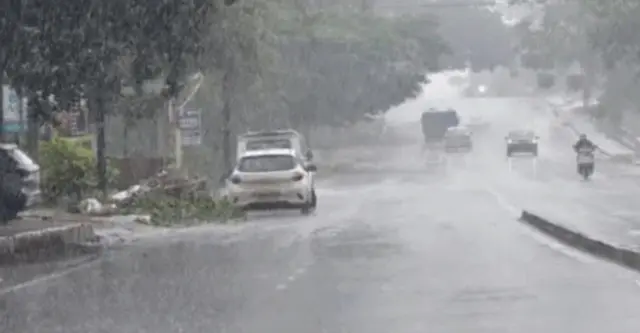
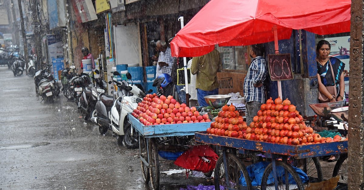
The heavy rainfall activity over the last 36 hours has triggered waterlogging in many low-lying areas across Odisha. Passengers faced inconvenience as rain submerged the area near the Bargarh government bus stand, while parts of the state capital, including Baibhab Nagar in ward no-4, were inundated.
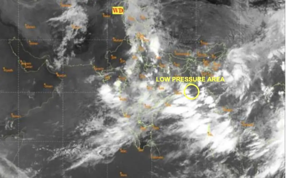
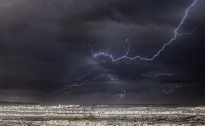
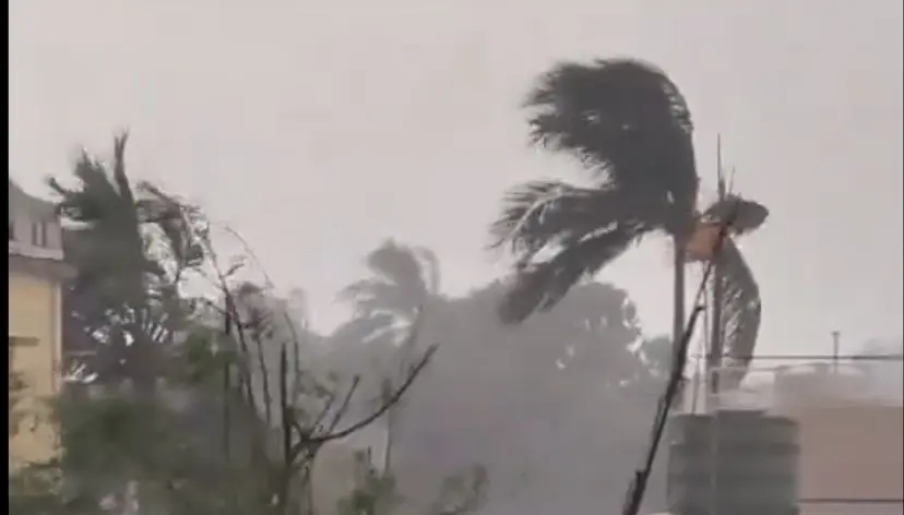
Several trees were uprooted due to strong winds and heavy showers in Boudh, Bhubaneswar, and other areas of the state on that day. Meteorological officials stated that the low pressure area continues to persist over the northwest Bay of Bengal and the adjoining north Odisha-West Bengal coasts.