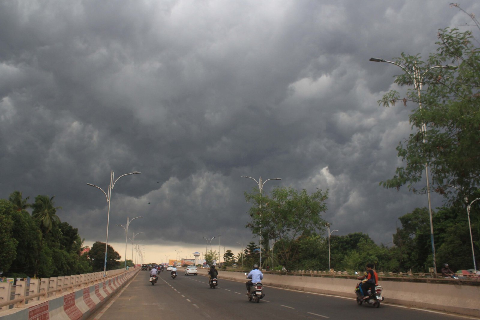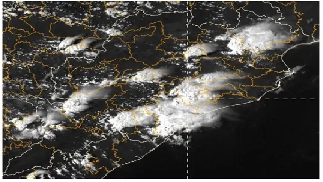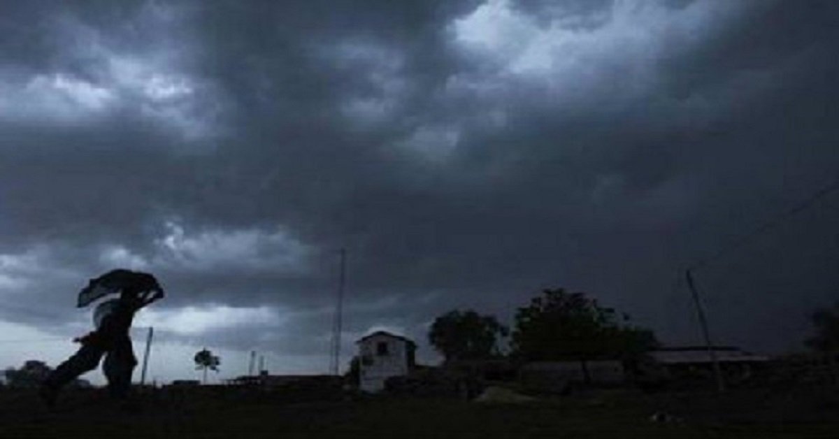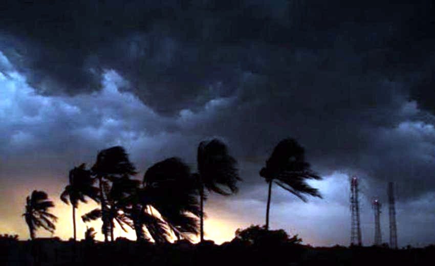
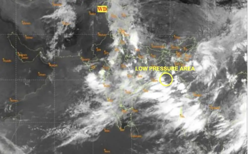
Bhubaneswar: A low pressure system has developed over the northwest Bay of Bengal and the adjacent north Odisha-West Bengal coasts, as reported by the India Meteorological Department (IMD) on Thursday.
The system formed around 3 am, influenced by a cyclonic circulation that was present over the northwest Bay of Bengal and the nearby north Odisha coast the day before. “It’s likely to become more marked during the next 2-3 days,” the IMD added.
According to the Tropical Weather Outlook, scattered to broken low and medium clouds with intense convection persist over the Bay of Bengal, Andaman Sea, Arakan coast, Gulf of Martaban, and Tenasserim coast.
However, the system is not expected to intensify into a depression within the next 168 hours.
Impact on Odisha
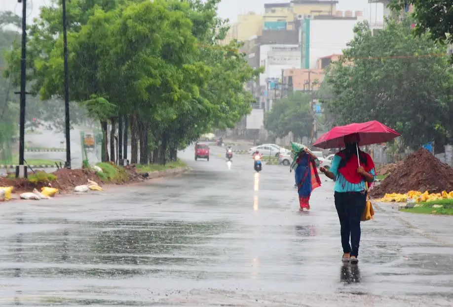
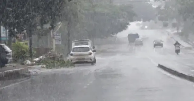
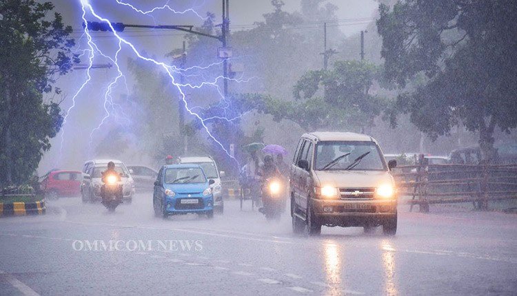
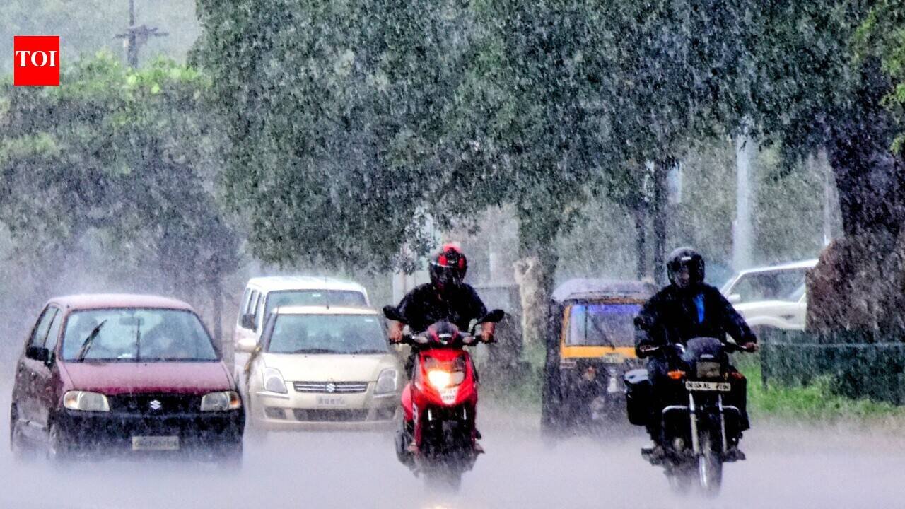
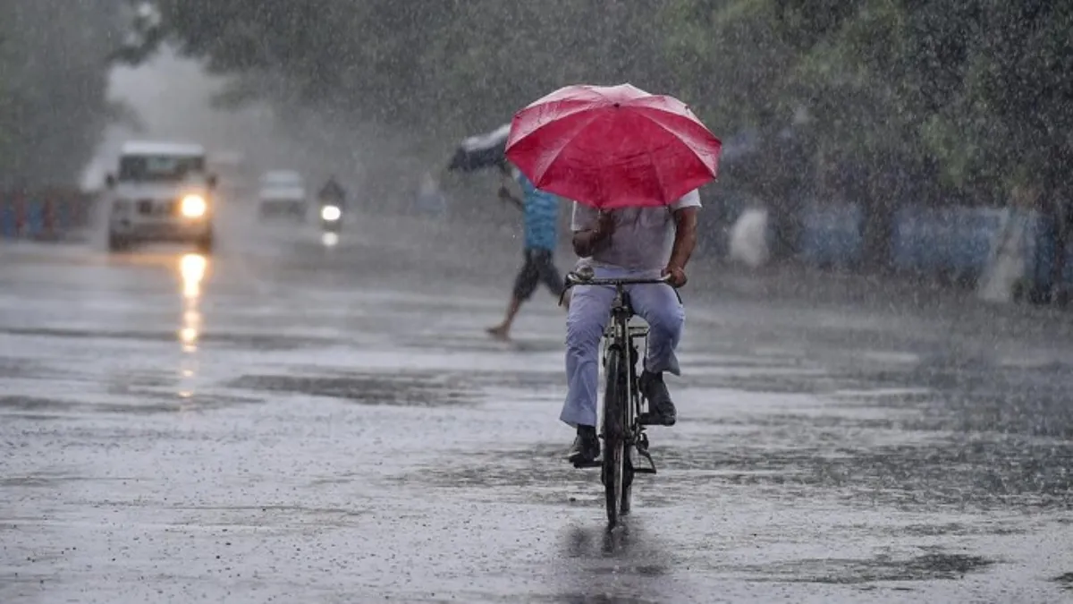
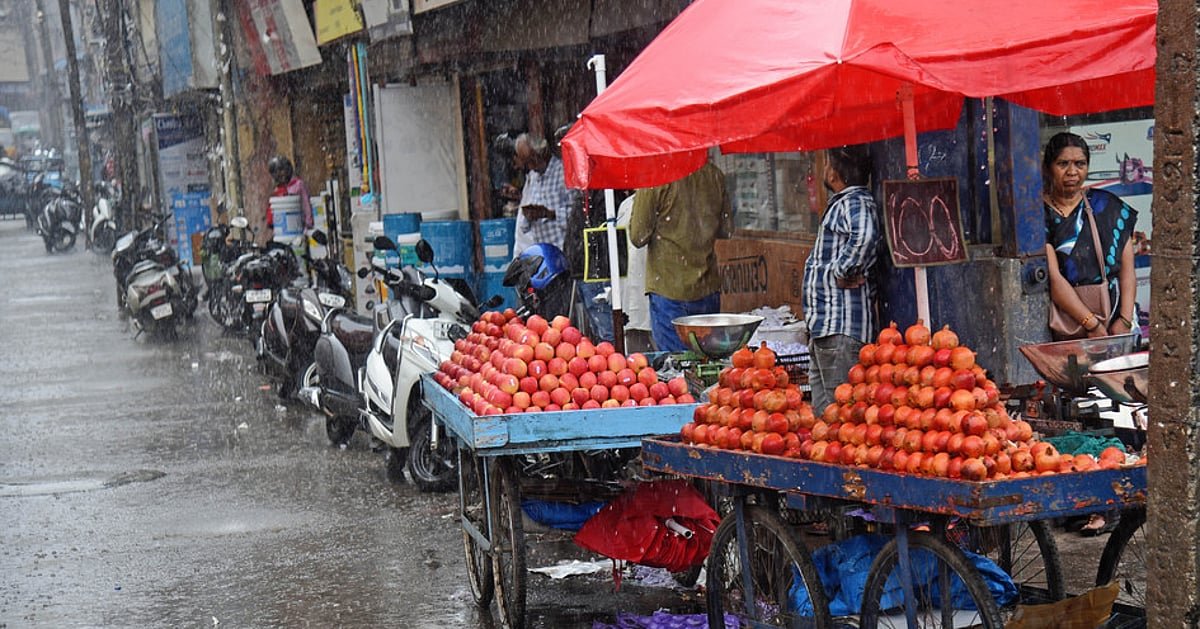
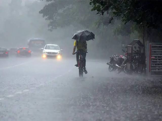
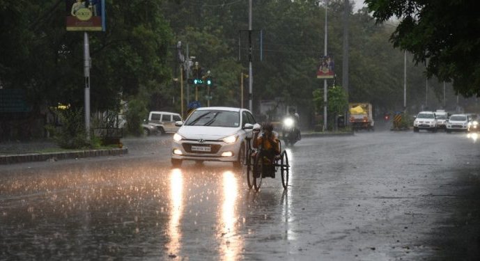
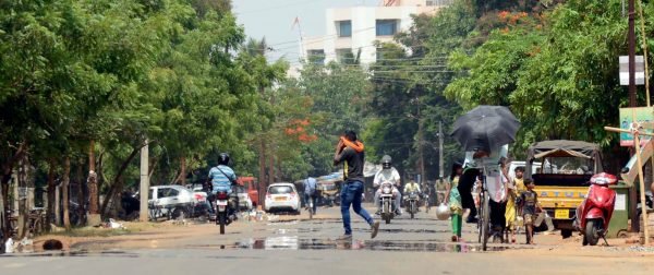
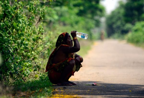
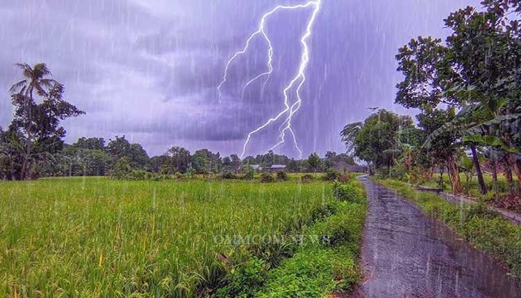
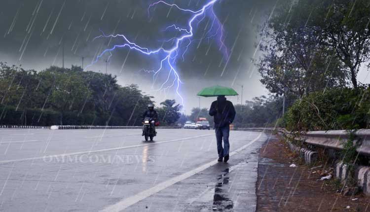
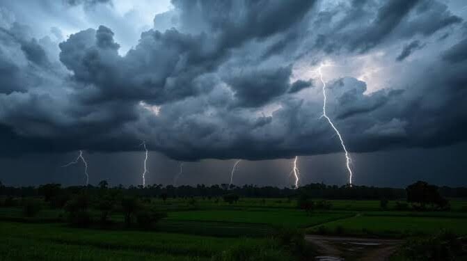
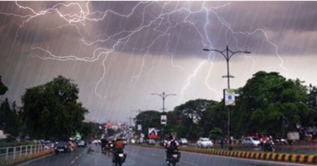
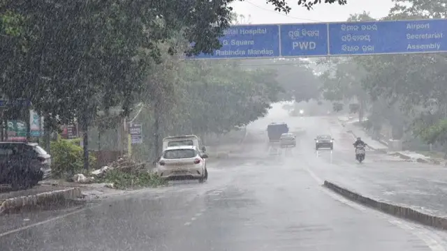
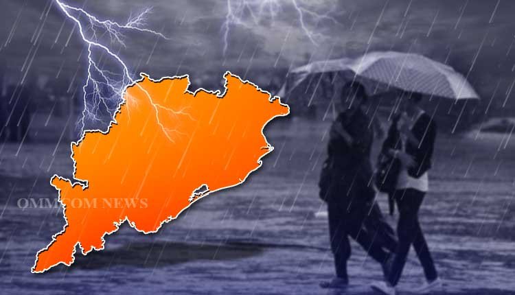
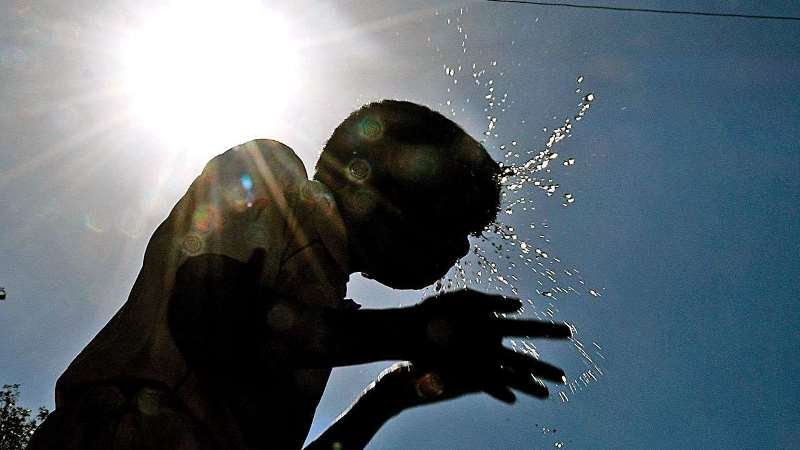
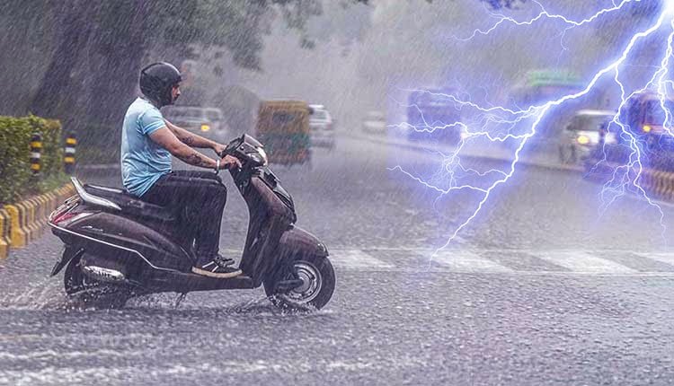
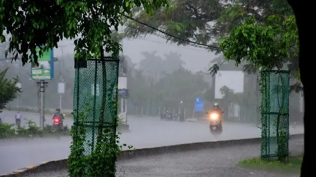
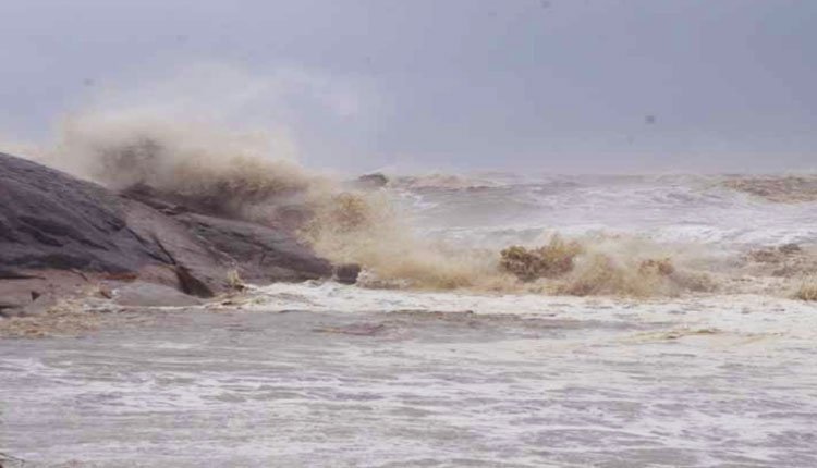
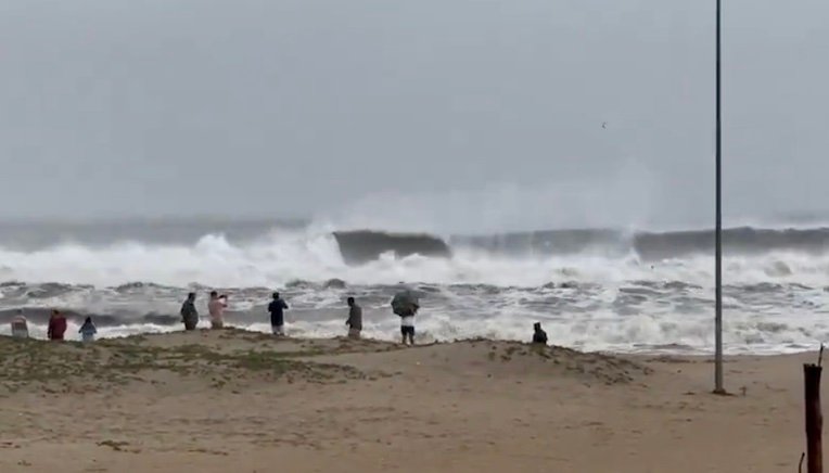
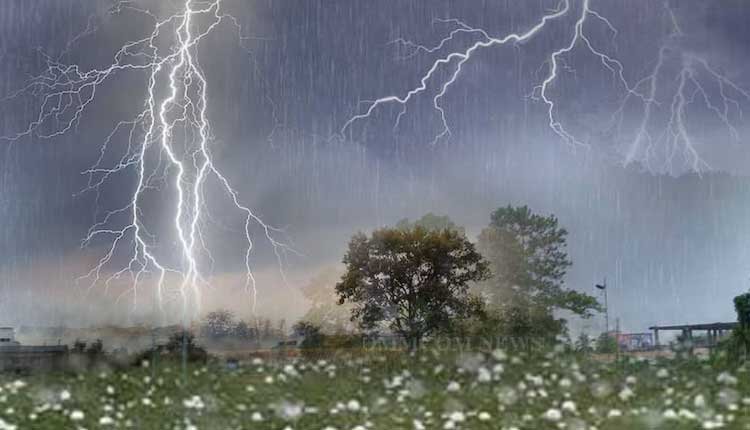
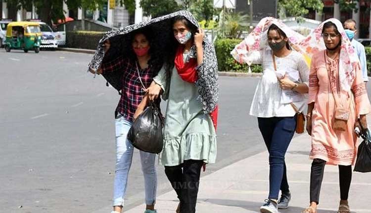
Due to this low pressure area, various parts of Odisha are likely to see significant rainfall until July 8. Many regions in the state have already recorded heavy rainfall in the past 24 hours, with ongoing activity expected to escalate. The system is predicted to cause heavy to very heavy rainfall, along with thunderstorms, lightning, and gusty winds (40-50 kmph or more) in several districts.
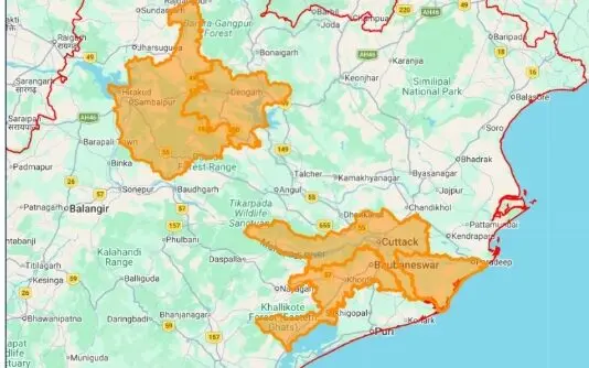
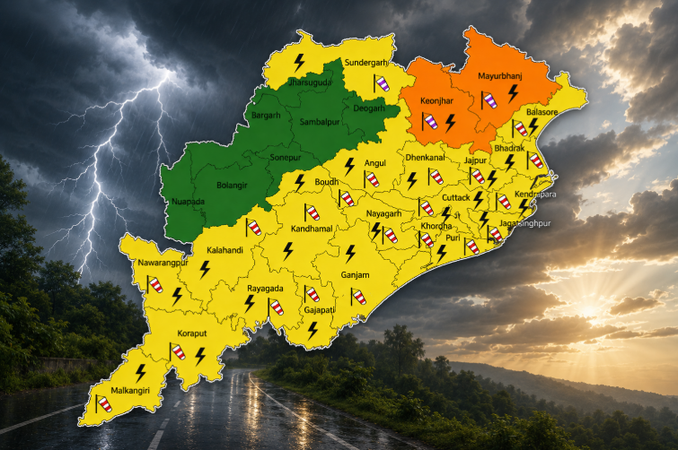
The Regional Meteorological Centre in Bhubaneswar has forecasted heavy to very heavy rainfall across Odisha from July 2-6. A red warning has been issued for Koraput and Malkangiri on June 3-4.
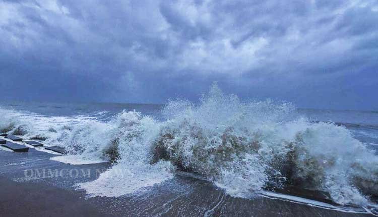
Fishermen have been advised against venturing into the sea, as conditions are expected to remain rough to very rough, with squally weather and wind speeds reaching 40-50 kmph, gusting up to 60 kmph along and off the Odisha coast during this period.
Orange & Yellow Warnings
June 2
Heavy to very heavy rainfall may occur at one or two locations in the districts of Baragada, Sonpur, Boudh, Nuapada, Balangir, Kandhamala, Nabarangpur, Koraput, and Malkangiri.
Heavy rain is also anticipated in Baleshwar, Bhadrak, Kendrapada, Jagatsinghpur, Kataka, Sundargada, Jharsuguda, Sambalpur, Debagada, Kendujhar, Mayurbhanj, Kalahandi, Rayagada, Gajapati, Ganjam, Puri, Khordha, and Nayagada.
June 3
Heavy to very heavy rainfall may occur at one or two places in Kalahandi, Nabarangpur, Rayagada, and Gajapati.
Heavy rain is also likely in Baleshwar, Kataka, Mayurbhanj, Sonpur, Boudh, Nuapada, Balangir, Kandhamala, Ganjam, Puri, Khordha, and Nayagada.
June 4
Heavy to very heavy rainfall may occur at one or two locations in Kendrapada, Jagatsinghpur, Kataka, Gajapati, Ganjam, Puri, Khordha, and Nayagada.
Heavy rain is also expected in Baleshwar, Bhadrak, Jajpur, Anugola, Dhenkanal, Boudh, Kalahandi, Kandhamala, Nabarangpur, and Rayagada.
June 5
Heavy to very heavy rainfall may occur at one or two places in Anugola and Keonjhar.
Heavy rain is also likely in Baleshwar, Bhadrak, Jajpur, Kendrapada, Jagatsinghpur, Kataka, Sundargada, Jharsuguda, Baragada, Sambalpur, Debagada, Dhenkanal, Mayurbhanj, Boudh, Nuapada, Kalahandi, Kandhamala, Nabarangpur, Rayagada, Koraput, and Malkangiri.
June 6
Heavy to very heavy rainfall may continue at one or two places in Anugola and Keonjhar.
Heavy rain is also expected in Baleshwar, Bhadrak, Jajpur, Kendrapada, Jagatsinghpur, Kataka, Sundargada, Jharsuguda, Baragada, Sambalpur, Debagada, Dhenkanal, Anugola, Mayurbhanj, Boudh, Gajapati, Ganjam, Puri, Khordha, and Nayagada.
On June 7-8, heavy rain may persist at one or two locations in Sundargada, Jharsuguda, Sambalpur, Debagada, Anugola, Kendujhar, and Mayurbhanj, with no significant change in weather conditions expected over the following three days.