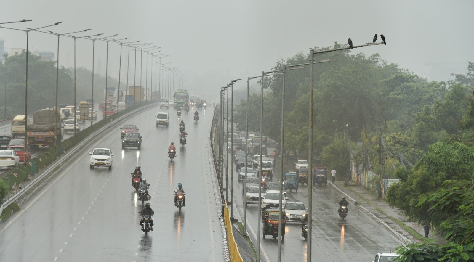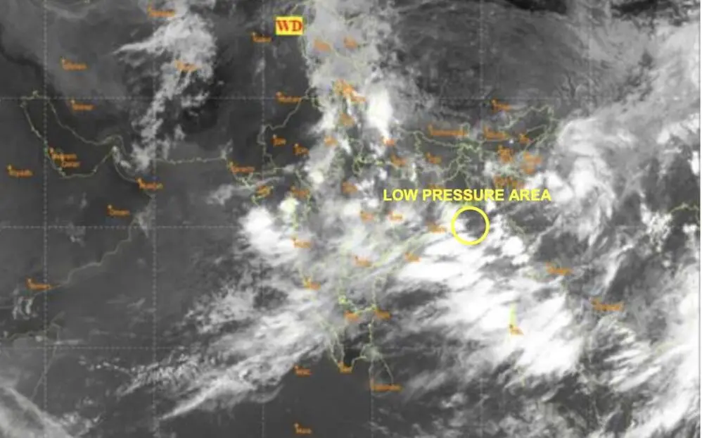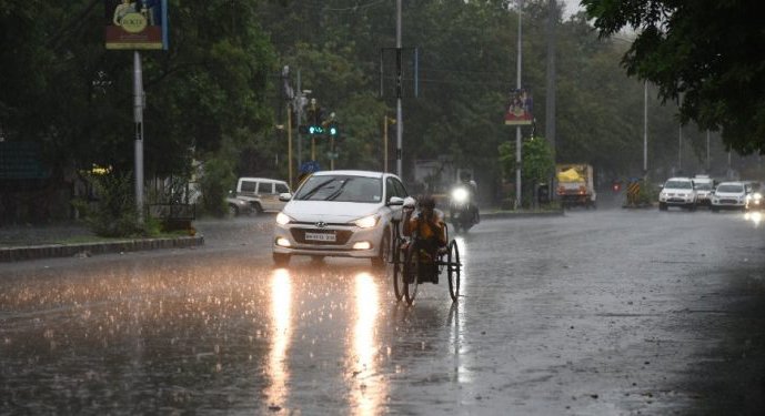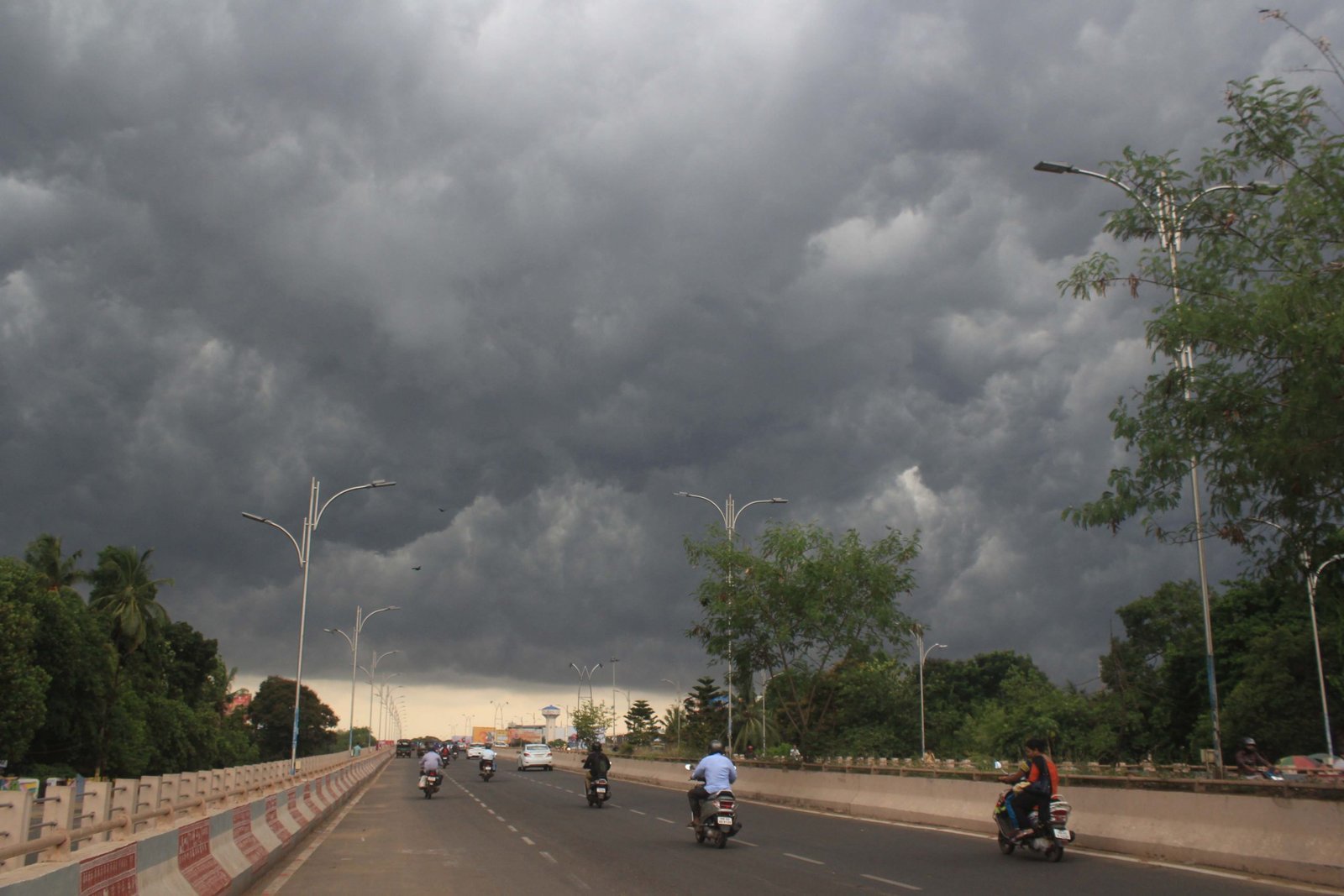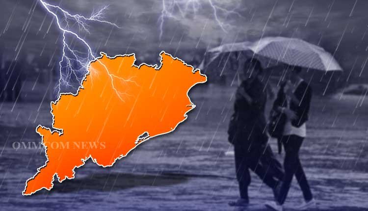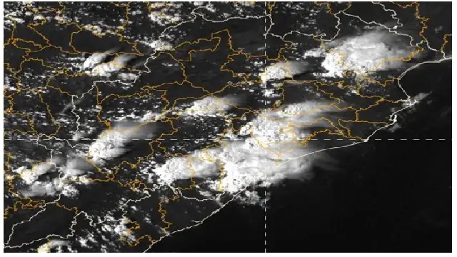

Bhubaneswar: The India Meteorological Department (IMD) on Thursday forecast a drop in the day temperature by 2-3°C during the next 3 days amid intense thunderstorm activity, triggered by a trough running from southeast Uttar Pradesh to north interior Odisha across Chhattisgarh.
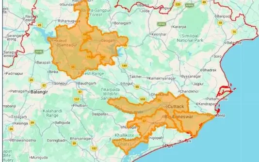
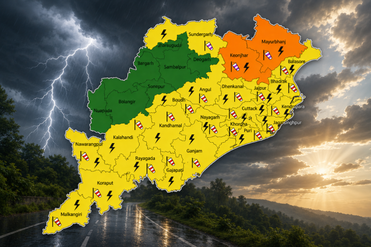
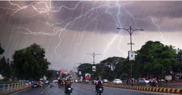
The weather agency has issued an orange warning of thunderstorms accompanied by lightning, hail, and gusty surface winds (50-60 kmph) in the afternoon/evening hours at one or two places in the districts of Mayurbhanj, Balasore, Gajapati, and Rayagada on April 30; and Mayurbhanj and Balasore on May 1.
People have been advised to monitor weather conditions and seek safer locations during the thunderstorm activity to protect against lightning, as well as to follow traffic advisories in urban areas. “Harvesting of crops may be regulated judicially and farmers are advised to use hail nets to protect vegetables and crops from hail,” it added.
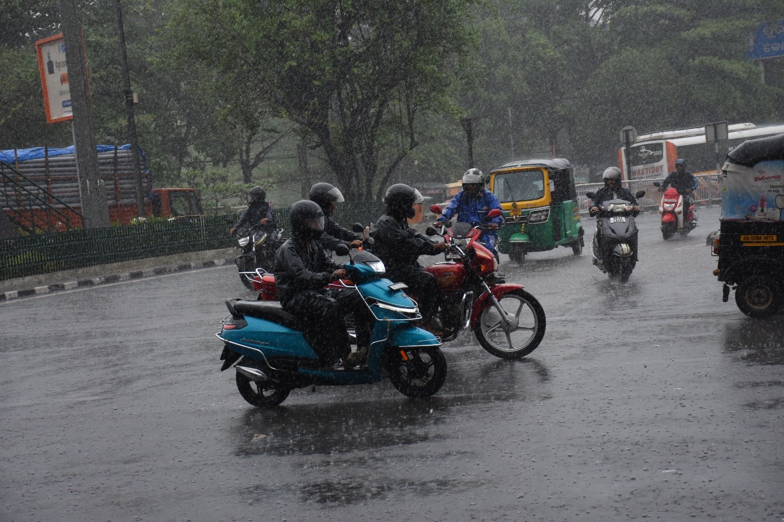
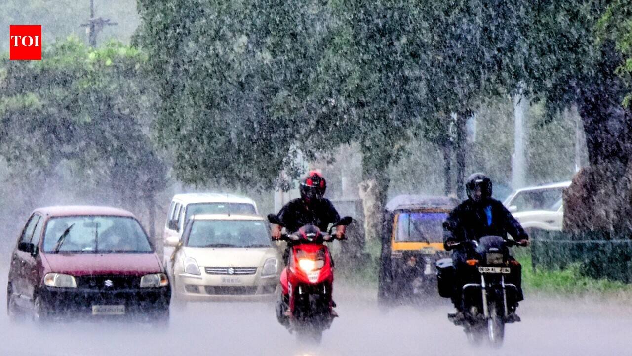
Squally weather with wind speeds reaching 50-60 kmph, occasionally gusting to 70 kmph, may also prevail along and off the coast on April 30.
A yellow warning for thunderstorms accompanied by lightning and gusty surface winds (40-50 kmph) has also been issued for the afternoon/evening hours in Keonjhar, Balasore, Bhadrak, Jajpur, Kendrapada, Cuttack, Jagatsinghpur, Puri, Khurda, Nayagarh, Ganjam, Angul, Dhenkanal, Deogarh, Sambalpur, Jharsuguda, Sundargarh, Malkangiri, Koraput, and Nabarangpur on April 30; and Bhadrak, Jajpur, Kendrapada, Cuttack, Jagatsinghpur, Puri, Khurda, Nayagarh, Ganjam, Gajapati, Rayagada, Koraput, Malkangiri, Keonjhar, and Nabarangpur on May 1.
Similar weather conditions with wind speeds of 30-40 kmph may also occur in Bargarh, Balangir, Boudh, Kalahandi, Kandhamal, Nuapada, and Sonepur on April 30 and Dhenkanal, Nuapada, Kalahandi, Kandhamal, and Sundargarh on May 1.
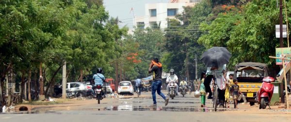
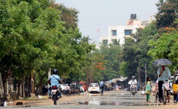
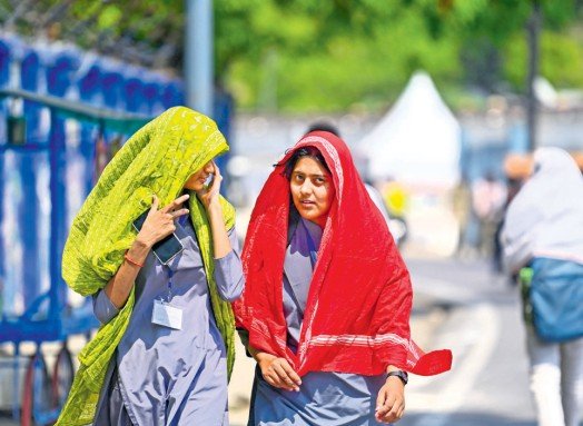
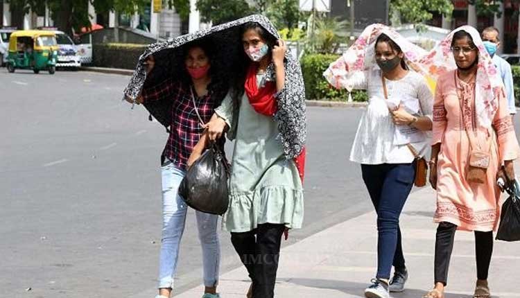
Hot and humid conditions may also persist at isolated locations in Balangir, Kalahandi, Angul, Jharsuguda, Sundargarh, Boudh, Nuapada, Sonepur, Balasore, Bhadrak, Jajpur, Kendrapada, Cuttack, Jagatsinghpur, Puri, Khurda, Nayagarh, Ganjam, and Gajapati districts on these two days.
According to the midday bulletin, thunderstorm activity with wind speeds ranging from 40-50 kmph and 30-40 kmph may continue in several districts of the state until May 6.
- May 2: Balasore, Bhadrak, Jajpur, Kendrapada, Cuttack, Jagatsinghpur, Puri, Khurda, Nayagarh, Ganjam, Gajapati, Mayurbhanj, Keonjhar, Dhenkanal, Rayagada, Koraput, Malkangiri, Nabarangpur, Angul, Boudh, and Kandhamal.
- May 3: Ganjam, Gajapati, Rayagada, Puri, Khurda, Nayagarh, Sonepur, Boudh, Nuapada, Balangir, Kalahandi, Kandhamal, Nabarangpur, Koraput, Malkangiri, Mayurbhanj, Keonjhar, and Balasore.
- May 4: Balasore, Bhadrak, Gajapati, Rayagada, Koraput, Jajpur, Kendrapada, Cuttack, Jagatsinghpur, Puri, Khurda, Nayagarh, Ganjam, Mayurbhanj, Keonjhar, Angul, Dhenkanal, Boudh, Kandhamal, Malkangiri, and Nabarangpur.
- May 5: Balasore, Bhadrak, Jajpur, Kendrapada, Cuttack, Jagatsinghpur, Mayurbhanj, Keonjhar, Ganjam, Gajapati, and Rayagada.
- May 6: Mayurbhanj, Keonjhar, Rayagada, Balasore, and Gajapati.
Wind speeds reaching 40-50 kmph, occasionally gusting to 60 kmph, may prevail along and off the North Odisha Coast from May 1-4.